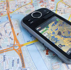
 NJVC and the National Geospatial-Intelligence Agency have collaborated to build a web application that works to help first responders relay location-based information.
The company developed the source code for the R3 Request for Information Generator platform to support NGA’s humanitarian assistance and disaster recovery initiatives, NJVC said Wednesday.
Developers can access the code on the agency’s Github account.
“NJVC was proud to work with NGA on a project that can positively impact the future of humanitarian and disaster response efforts around the globe — as evidenced by its successful use by first responders during several recent catastrophic events,†said Michael Carr, NJVC chief technology officer and senior vice president for technology innovation.
The R3 RFI Generator is designed to access and manage requests for geospatial data in mobile devices.
It has been used to disseminate geospatial intelligence during relief drives related to Hurricane Isaac, Colorado flooding, Washington mudslide, and Chilean wildfires.


